Blended sea wind data product from several satellites including QuikSCAT, SSMIs, TMI and AMSR-E. The product is gridded and has global coverage with 0.25 deg x 0.25 deg spatial resolution. The temporal resolution is 6 hours The data was imported from NOAA National Climatic Data Center [1]
The product was derived from multiple satellite observations: DMSP SSMI F08, F10, F11, F13,F14 F15; TMI; QuikSCAT; AMSR-E while wind direction was taken from NCEP Reanalysis-2 (that is why the product is called “blended”).
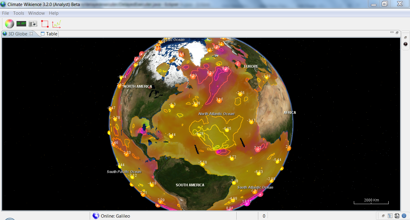
Below is eastward wind speed for 10 meters above sea surface (u10m) on the 28th of August, 2005.
The product was derived from multiple satellite observations: DMSP SSMI F08, F10, F11, F13,F14 F15; TMI; QuikSCAT; AMSR-E while wind direction was taken from NCEP Reanalysis-2 (that is why the product is called “blended”).
Below is eastward wind speed for 10 meters above sea surface (u10m) on the 28th of August, 2005.
 [2]
[2]
Please, visit the Earth remote sensing data page [3] for details.


